


There have been many changes in the town over the last five years.
LAST week we used the wonder of ‘Google Street View’ (here) to bring you a series of images using the that showed the many changes that have occurred in the town over the last number five years.
No we’ve had a look around town to find more changes made.
They show just how much the landscape of the area has developed.
Check out the differences below.

1. Areas of Mitchels have seen many changes.
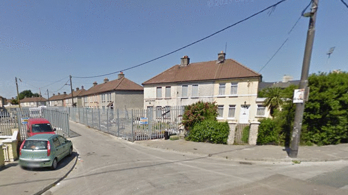
Mitchels area.

.
2. The same area has seen some major development over the last five years.
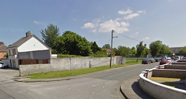
There has been some good refurbishment in different parts of the Mitchels Road area.
3. The ‘Tralee Bay Wetlands’ has been turned from a empty field into a thriving business.

The Tralee Bay Wetlands has come a long way.
4. The car park at Parklands below Tesco is the definition of progress.

The Abbey Court car park back in 2009 and what it is like now.
5. Part of ‘The Fenit Walkway’ on Upper Rock Street was once nowhere to be found.

The Fenit Walkway on Upper Rock Street.